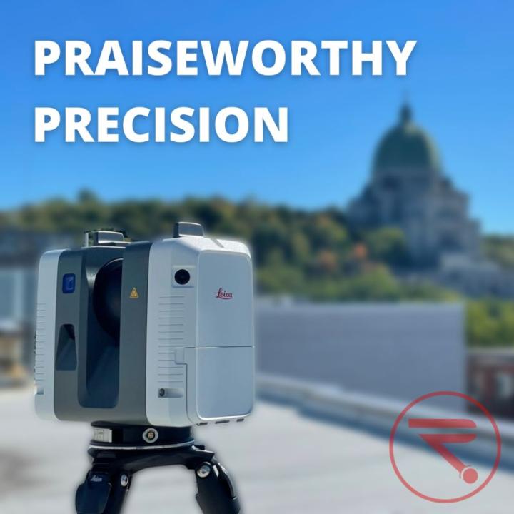
FAST. AGILE. PRECISE. The RTC360 by Leica Geosystems part of Hexagon is a high-speed 3D laser scanner with automatic point cloud alignment based on real time tracking, automatic removal of moving objects, and a complete full dome scan in less than 2 minutes. Combined with Cyclone FIELD 360 software for automated registration in the field, the Leica RTC360 scanner offers outstanding precision that can be viewed on-site. Message us for a demo and learn more at https://lnkd.in/g5cNWaSq.