Cyclone REGISTER
REALITY CAPTURE SOFTWARE
FOR SITUATING YOUR POINT CLOUDS
TOP OF THE LINE
Leica Cyclone REGISTER is the industry’s most popular and powerful software for registering and geo-referencing laser scan data to a common coordinate system.

RIGOROUS
Accurate registration and geo-referencing is a must for successful High-Definition Survey projects. Cyclone REGISTER is the most rigorous, complete and productive software available for this important process.
VERSATILE
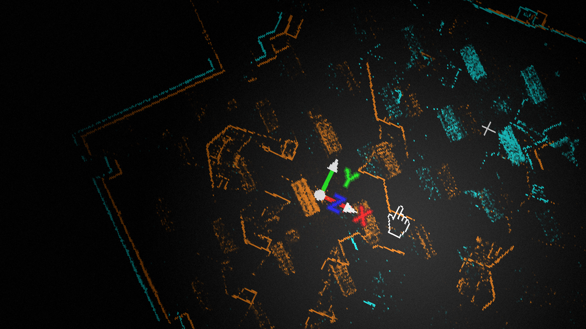
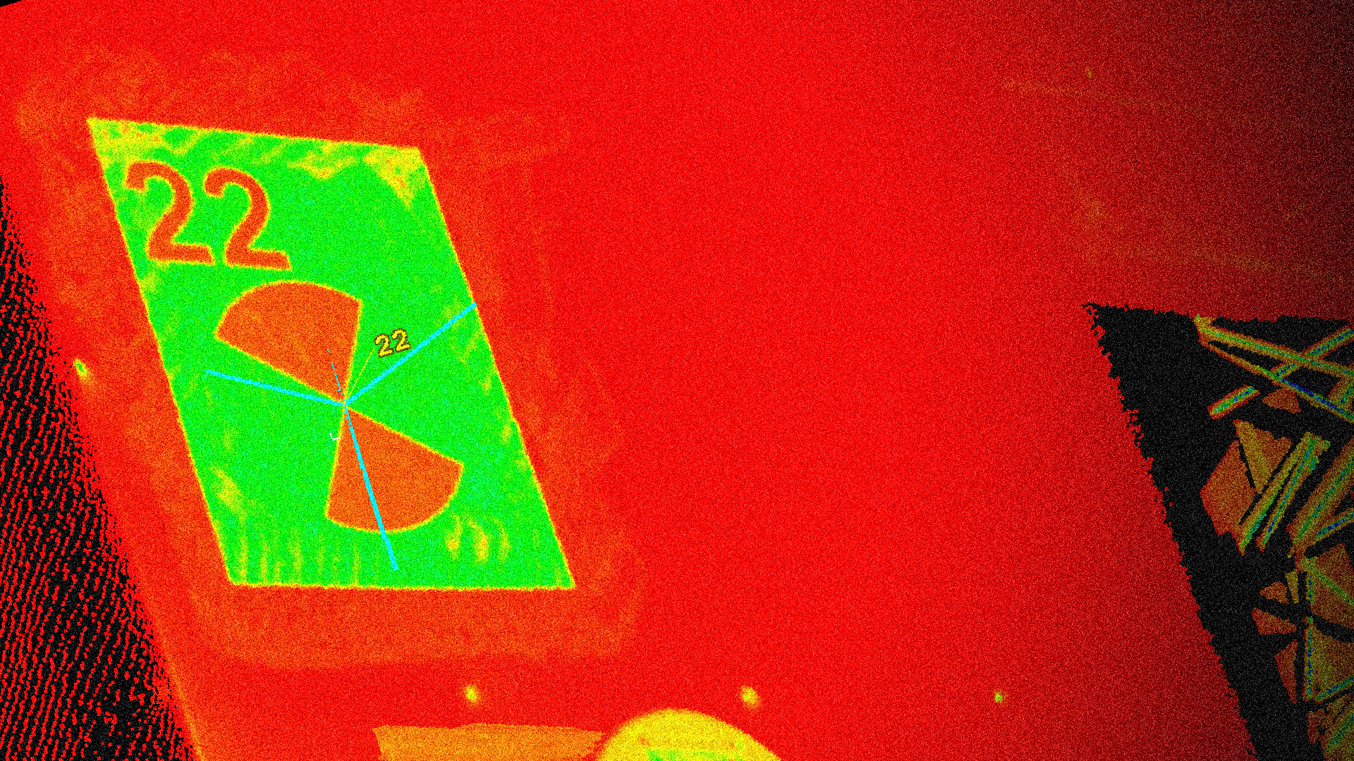
Users can take advantage of registration options based on scan targets, scene features, overlapping point clouds, survey data, and/or on-board pre-registration options from the Leica RTC360 or Cyclone FIELD 360.
DETAILED
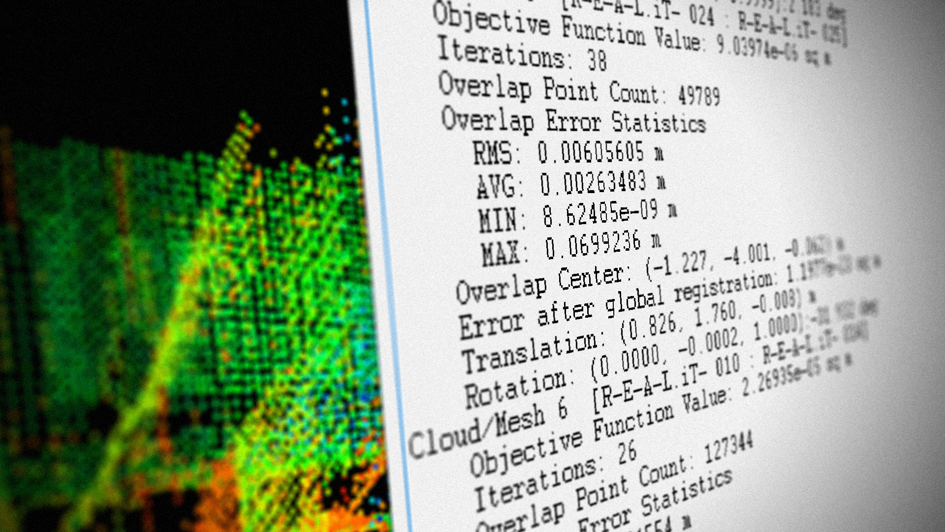
Cyclone REGISTER provides detailed statistical reports suitable for inclusion as project deliverables. Reports cover registration accuracy, error statistics and histograms for each target and/or cloud constraint.
AUTOMATED
Available automation features, friendly wizards and powerful algorithms provide unsurpassed office productivity, even for very large scan data sets.
Ready to learn more?
Our EXPERTS@R-E-A-L.iT are ready to help you with onboarding this new technology in your business. Whether you need to train your employees with this new hardware, or have questions about what software solutions to use in the office to get the most out of your data, we are ready to assist you at every step of the process. Check out our coaching plans here. Still have questions? Click the button below to start a conversation with one of our experts.
Contact Us.
-

-

-

-

Our
EXPERTS@R-E-A-L.iT
are ready to help you with onboarding this new technology in your business. Whether you need to train your employees with this new hardware, or have questions about what software solutions to use in the office to get the most out of your data, we are ready to assist you at every step of the process.
Still have questions? Click the button below to start a conversation with one of our experts.